New eBook - Ubiquitous Tools from Google can Help Emergency Management Personnel Before, During and After a Crisis
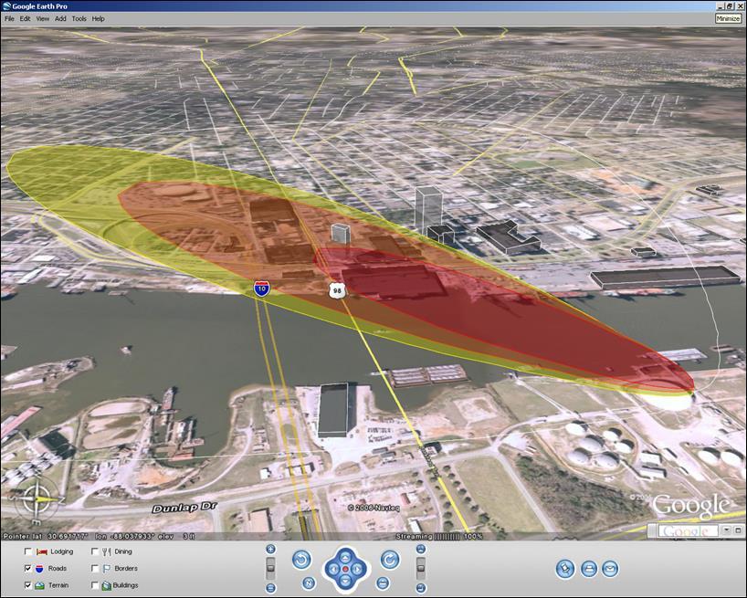
[caption id="attachment_4375" align="alignright" width="300"] A red and yellow cloud plume overlaid on a Google Earth aerial map helps first responders assess and rehearse for disaster scenarios.[/caption]
When you think of Google, what springs to mind? Gmail, Google Maps, and, not forgetting the engine that started it all – Google Search?
We’ve been writing about the evolution of Google technology and how the public sector can benefit from it on Acronym for many years, but recently I had the opportunity to see how the many tools tie together to really make a difference in how agencies (particularly emergency responders, first responders, GIS officials and law enforcement) make informed decisions before, during and after a crisis.
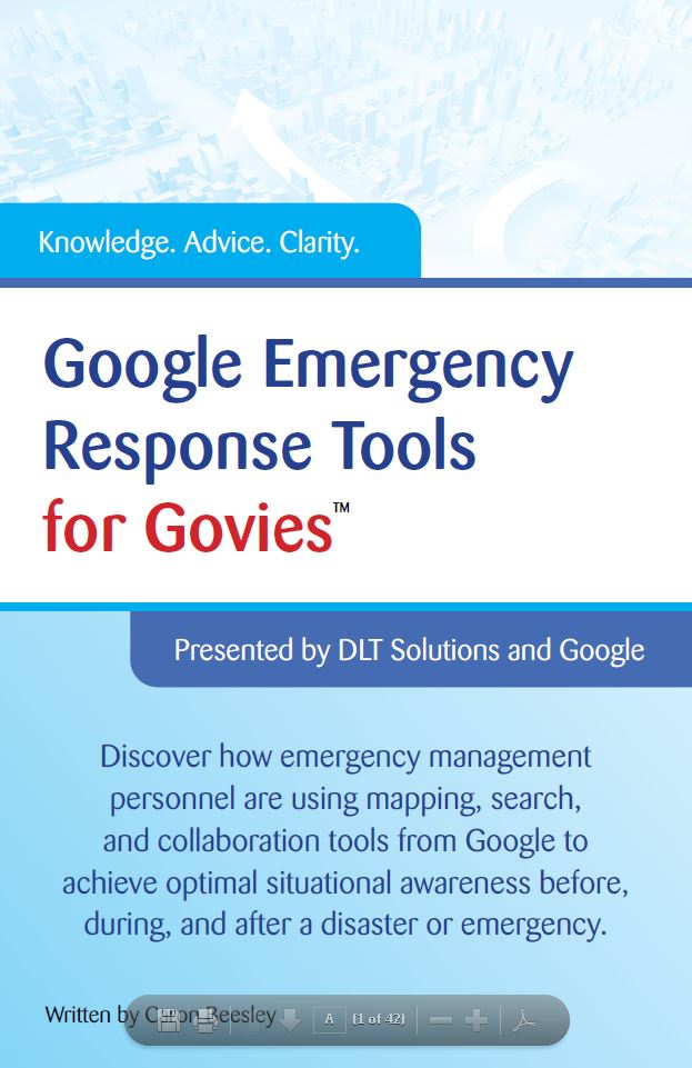
For the past few months I’ve been working on a collaboration with Acronym’s sponsor, DLT Solutions, to produce the Google Emergency Response Tools for Govies ebook. The goal was to create an easy-to-read quick reference guide for government officials who are charged with preparing for, responding to and managing disasters on a day-to-day basis.
But how can Google help? Google’s self-proclaimed mission is to “…organize the world’s information and make it universally accessible and useful.” Information is essential in a crisis – take the Boston marathon bombings earlier this year, first responders and law enforcement were bombarded with data and intelligence that led to the rapid apprehension of the suspects.
Data saves lives. Yet assimilating, querying and using that data across multiple stakeholders and technology systems – in the office and in the field –to make informed decisions is easier said than done.
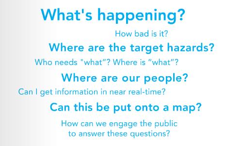
First responders need answers in the very earliest phases of a response:
With real-world examples from the states of Alabama, Maine and Virginia, the ebook explains how ubiquitous tools from Google including Google Earth, Google Search Appliance, and real-time collaboration apps can and are helping emergency responders achieve unparalleled situation awareness and cost-savings.
Related Blog Posts