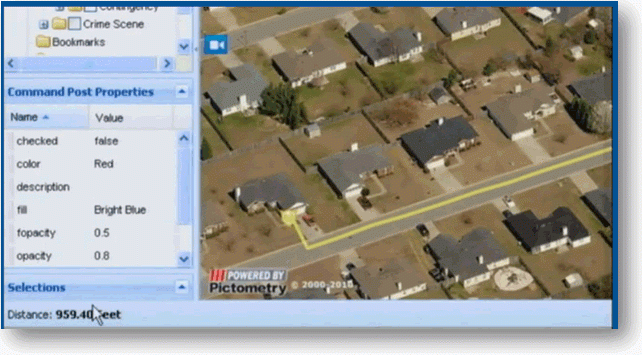
A new book by Gregory Elmes, professor of geography at West Virginia University – “Forensic GIS: The Role of Geospatial Technologies for Investigating Crime and Providing Evidence” examines the use of location technology in preventing and fighting crime and convicting offenders.
In the publisher’s press release, Elmes commented that: “Most of (society’s) data today contains locational information. Eighty percent of all of our data contains some sort of spatial or locational content.”
“What we need to do, particularly in (the field of) geography, is to realize the power of locationally addressed data, and through our analytical and mapping capabilities.”
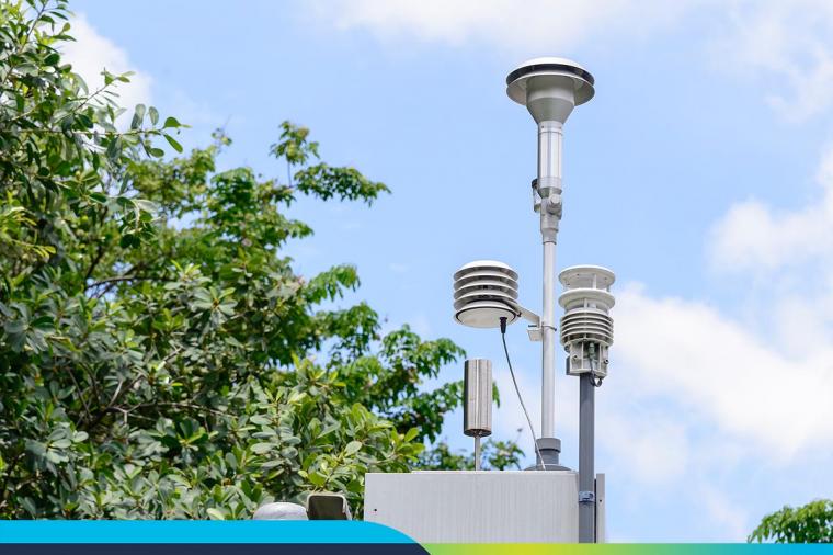
The book discusses a wide range of technologies and applications for geographic, or location-based, information systems in forensic science, and serves as a review of geospatial technology—the collecting, storing, processing and examining of geographic information—as it applies to criminal justice.
It also includes a number of case studies.
One chapter, “Mapping and the Use of Force in Police Forces,” takes a deep look into the motives behind police militarization. The topic is particularly timely following the August shooting death of an unarmed teenager in Ferguson, Missouri, and the escalating tension surrounding protests and police force response.
“The level of police militarization is of concern,” Elmes said. “This particular chapter struck me as very interesting. This is something you don’t normally think of in mapping crime, but it does fall within its scope.”
Other case studies include
- “Concepts, Principles and Definitions-Geospatial Technologies in the Courtroom”
- “State Registration of Sex Offenders: Public Notification, Web Mapping & Spatial Issues”
- “The SDIK Police Model: How to Make the Invisible Visible”
- “Delineating Legal Forest Boundaries to Combat Illegal Forest Encroachments: A Case Study in Murree Forest”
You can purchase a copy of Elmes book here.
For a deep dive into how emergency management and response teams can leverage cost-effective tools from Google that can help them access, share and act on critical information before, during, and after a disaster or emergency, as well day-to-day tasks such as geo-locating known offenders, check out our eBook: Google Emergency Response Tools for Govies.
Related Blog Posts