Smart Cities: A Vision That Can’t Be Realized Without BIM
Smart cities have been called “the future of urban development”, but what is a smart city and what does it mean to digital designers and engineers?
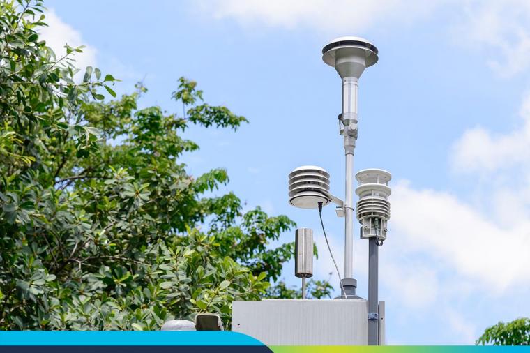
When we think of smart cities, we often think of them in the context of the Internet of Things (IoT). Perhaps you live in a city where you can use an app to pinpoint the location of available parking spots. Or perhaps your local transit company can automatically re-route buses away from congested areas based on a network of fleet- or city-wide sensors.
But smart cities are more than just glorified versions of smart homes. They answer the challenge of explosive worldwide urban growth.
Planning for urban growth
In the next 30 years, the number of people living in cities will double while the global population will increase by three billion people. This growth will require construction of a thousand new buildings every day. Urbanization will result in 75% of the world’s population living in cities, with 95% of the population within a day’s drive from an urban center.
This growth puts tremendous pressure on infrastructure. It also puts pressure on data sources that often sit siloed across different public and private organizations that need to come together seamlessly and in real-time so that it can be collected and interpreted to and used to support smart-city principles.
But what about smart city design? What is it and how can cities leverage it? The applications are endless.
How our cities define their visions of a “smart city”
Each city has unique challenges. But there’s typically one common denominator – traffic. Cognizant of this challenge, in 2016, the U.S. Department of Transportation took it upon itself to find out what a smart city means by asking cities themselves. The result was the Smart City Challenge.
The challenge awarded $40 million to the winning city (Columbus, Ohio) who could come up with a vision for a “integrated, first-of-its-kind smart transportation system that would use data, applications, and technology to help people and goods move more quickly, cheaply, and efficiently.”
In 2019, the Smart Cities Council undertook a similar initiative with its Smart Cities Readiness Challenge which challenged cities to “provide a vision for at least three smart cities projects that would make a difference in the lives of their residents.”
Five winners were announced in 2019 including Baltimore; Edmonton; Montgomery; Racine, WI; and Cleantech San Diego. Winning applications included plans to coordinate and deploy smart traffic signals (Cleantech San Diego) and the use of A.I. technology to proactively assess road conditions, replacing a time-consuming, labor-intensive process (Montgomery).
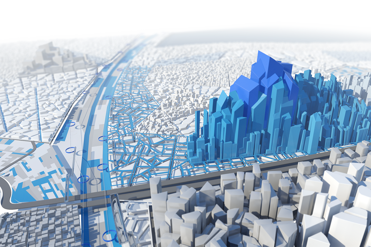
Smart cities aren’t possible without BIM
Where does CAD and, now BIM, fit into smart city development? Shimonti Paul writing for Geospatial World argues that BIM is “no more an option but a necessity” for smart cities.
“With BIM, a city is never seen in isolation,” writes Paul. “A building is always integrated with other infrastructure such as the transport system, utilities, etc. This is a challenging task to achieve, but that’s the beauty of BIM. Projects that implement BIM open up doors for collaboration and a free flow of standardized information across disciplines.”
Smart cities take on mass urbanization and economic growth
Consider the challenge of urban growth in India, for example. To address mass urbanization, the Indian government has launched a 100 smart cities program which encompasses one of the world’s largest infrastructure projects – the Delhi-Mumbai Industrial Corridor (DMIC). The DMIC project is planned as a high-tech industrial zone between India’s capital, Delhi, and its financial hub, Mumbai, and crosses six states. It will include eight smart cities, 24 industrial regions, two international airports, two mass transit systems, and more.
Related Blog Posts