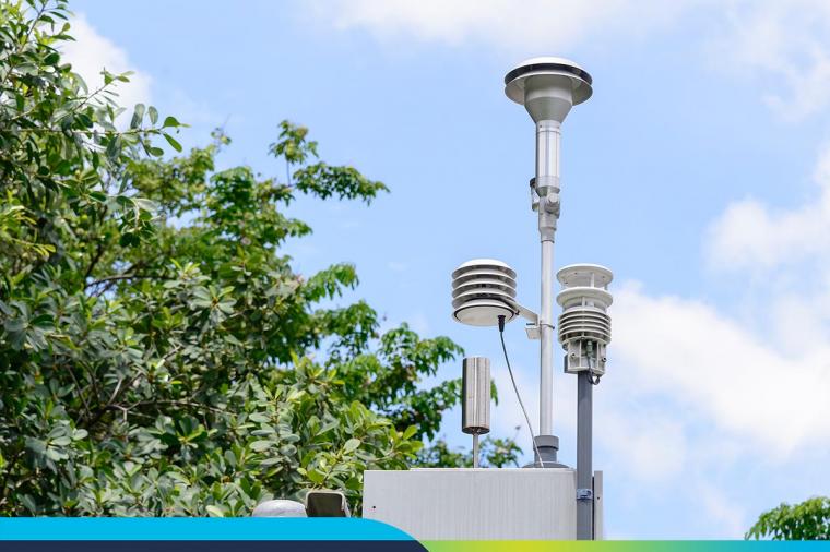
As any surveyor or field engineer knows, capturing existing field conditions for an infrastructure project or building renovation is a tedious, manual, often analog, and inaccurate process – not to mention dangerous.
Renovations projects are a particular challenge since the infrastructure or building may be decades old and designed before the age of digital blueprints. You’re almost guaranteed to start a project using static 2D image documentation of existing conditions. Verifying and updating these manually is a lot of leg work.
Digital reality capture is changing this. Reality capture helps teams reduce errors, minimize labor requirements, save time, and reduce risk. The output is a highly-accurate, actionable set of real-time data, which can be directly connected into 2D and 3D design processes.
What is Reality Capture?
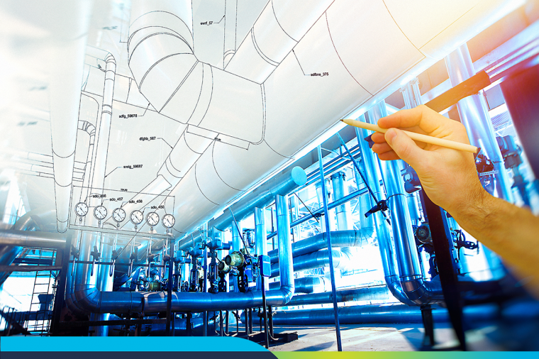
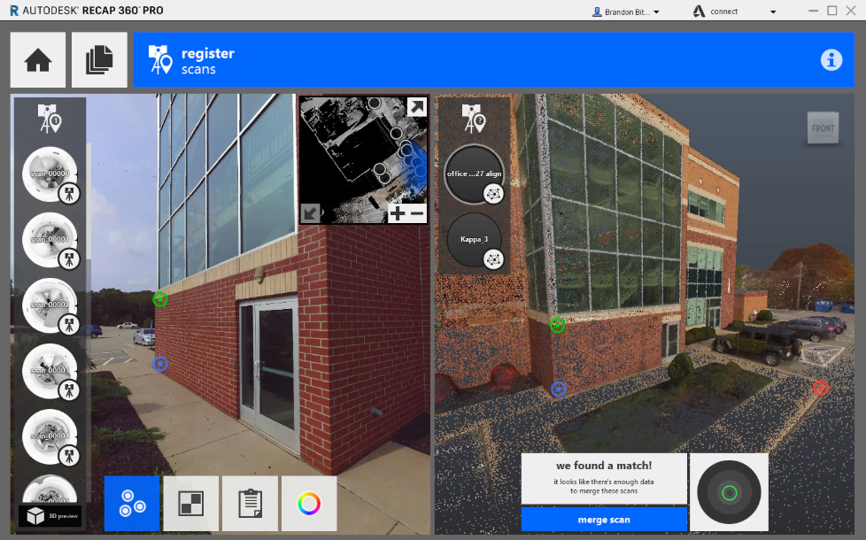
Reality capture is the process of producing a digital 3D model representation of your object, building, or site by scanning it in the field using hardware such as laser scanners or camera-mounted UAVs. Once a site is scanned, a detailed set of data or “points” is captured for further processing. Here reality capture software, like Autodesk ReCap steps in and data captured by the hardware automatically registered, stitched into a coordinate system, cleaned up, and analyzed. The final product is a point cloud created in a matter of minutes that can be imported into CAD and BIM tools.
Now the magic begins. Designers benefit from the confidence that their base information is a model of up-to-date data of actual site conditions. This makes it easier to detect issues earlier than with traditional surveying methods and give a close-up view of issues that might cause rework, such as structural bowing, thermal changes, incorrect installation of MEP systems, and more.
Even better, once scan data is aligned to a 3D model, architects and engineers gain a clear understanding of site restrictions and challenges and can overcome them through creative design – taking care of problems much earlier in the design process.
Reduced Barriers to Entry
Previously, it took expensive equipment operated by highly-trained technical staff to get basic Reality Capture data of a site. Now, it is completed in a fraction of the time with only basic training (and certification to operate UAVs) needed. Laser scanning hardware now offers “push-button” simplicity and UAV flights can be automated with simple flight path planning tools via mobile devices in the field. Where it once took $40,000 to do a one-time scan of a site from a professional service company or LiDAR-equipped plane, you can now own a commercial drone starting at $1,500 and start flying a site on-demand.
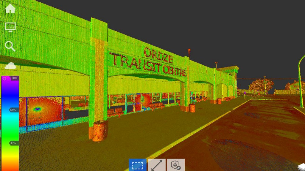
Government Success Story: Reality Capture in Action
Picture a road survey crew in the middle of Alberta, Canada. You’re probably imagining workers bundled up in down-filled parkas peering into theodolites for hours and hours in the bitter cold. In Strathcona County, their days of peering into theodolites for hours have ended because Strathcona County now uses Reality Capture.
Strathcona County is working with and educating consultants on how to use Reality Capture to their mutual benefit. Their consultants were easily able to bring point clouds into Autodesk modeling software to perform measurements and feature extraction. The County is now working on a major roadway upgrade and was able to take detailed scans from several intersections with a push of a button and in a fraction of the time it would have taken with traditional methods. The scans were so detailed, local business owners could easily visualize the impacts to their property. The scan also allowed for feature extraction of the power poles down the roadway. The County had access to the data of what exactly is already there, without having to manually survey, which would have taken exponentially more time. And, data of existing buried public utilities could be added within the digital model easily and intuitively. Read more about reality capture in action in Strathcona County.
For more information about how reality capture can help deliver projects more accurately and efficiently, check out this eBook: How Reality Capture is Changing the Design and Construction Industry.
Related Blog Posts