Digital Design
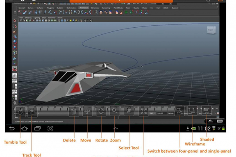
Last week, Splashtop, a leading provider of remote desktop software solutions, announced a partnership with Autodesk to launch “Remote Desktop Streamer App” on the Autodesk Exchange Apps store for all Autodesk products.

Digital Design
CAD News for Govies is a weekly feature on Acronym that scans thousands of industry articles to present you with a regular source of CAD and GIS news, information and ideas that impact the public sector. Here’s the latest round-up:
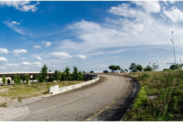
3 Tips to Make More Accurate Project Cost Estimates
Digital Design
CAD News for Govies is a weekly feature on Acronym that scans thousands of industry articles to present you with a regular source of CAD and GIS news, information and ideas that impact the public sector. Here’s the latest round-up:
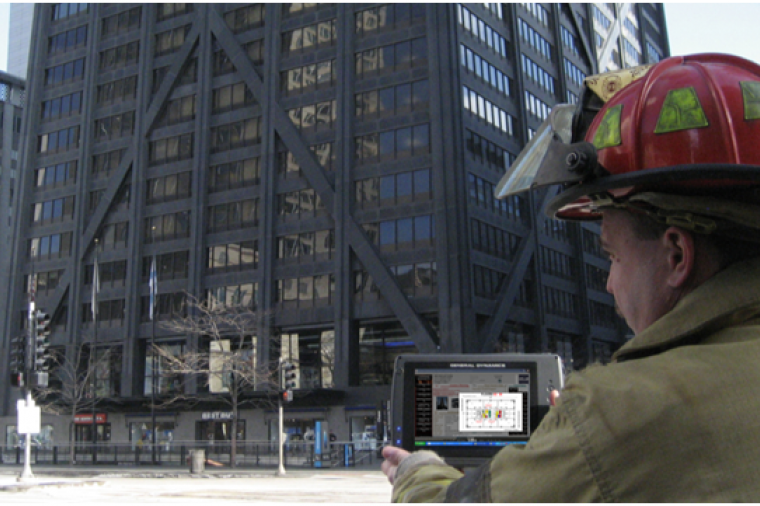
Integrated Design Workflow Videos using Revit 2013 and 2014

Digital Design
6 Free Autodesk University On-Demand Classes for Govies
Can’t make it to Autodesk University (AU) this year? Anyone can join the AU community for free and enjoy on-demand classes from your desktop. Here are a few we’ve narrowed down that are specifically for and about the public sector.
Digital Design
CAD News for Govies is a weekly feature on Acronym that scans thousands of industry articles to present you with a regular source of CAD and GIS news, information and ideas that impact the public sector.
Here’s the latest round-up:
New Construction Management Software Designed Around iPhone Usability
Digital Design
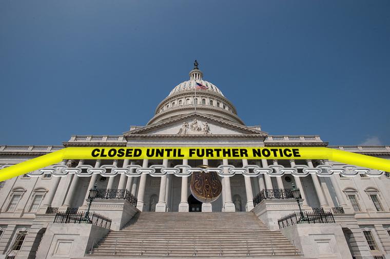
Earlier this week we shared an interactive graphic depicting the far-reaching impact of the government shutdown across the country. As we head into the end of the second week of the 2013 shutdown, here’s a look at how the protracted furloughs and closures are beginning to impact the government design/build industry both at the federal and state and local level.
Here’s what you need to know: