
IT Perspective, Uncategorized
Seems like Fed IT innovators are tied to the rails as the big-iron locomotive careens down the track. A new MeriTalk study, “Innovation Inspiration: Can Software Save IT?,” tells us what we already know - we spend too much money updating and maintaining legacy systems. But, this isn’t all a doom-and-gloom story - there’s a glimpse of a super-hero option.

Digital Design
CAD News for Govies is a weekly feature on Acronym that scans thousands of industry articles to present you with a regular source of CAD and GIS news, information and ideas that impact the public sector.
Here’s the latest round-up:
How to Create a Killer CAD Team: Get Them Certified

Digital Design
Can you believe it? It's that time again. Registration for this year's Autodesk University opens on September 12, 2013.
While the event isn't until December 3-5 at the Venetian Hotel, Las Vegas, you might want to take advantage of early bird rates as soon as they come online.
Can't make it to AU this year? You can still access past courses online, just sign-up for free to become an AU member.

Digital Design
CAD News for Govies is a weekly feature on Acronym that scans thousands of industry articles to present you with a regular source of CAD and GIS news, information and ideas that impact the public sector.
Here’s the latest round-up:
Webinar - BIM without Buildings? Yes, It’s Possible!

Digital Design
When the U.S. General Services Administration (GSA) wanted to renovate the Martin Luther King, Jr., federal building (MLK) in downtown Atlanta, a Depression-era building that originally served as the central postal facility for the Southeast, sustainability was an important part of the process. The $62 million renovation and rehabilitation of the MLK building, overseen by architecture firm Lord, Aeck & Sargent, was completed in 2011 and achieved LEED Gold certification from the U.S. Green Building Council.
Digital Design
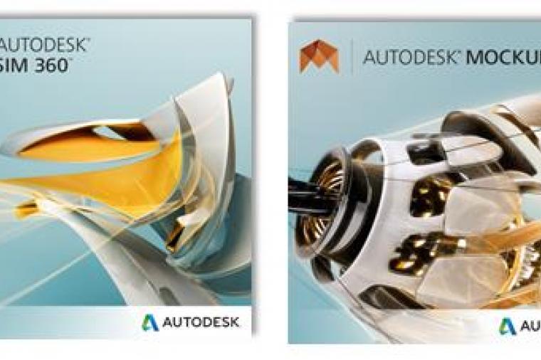
CAD News for Govies is a weekly feature on Acronym that scans thousands of industry articles to present you with a regular source of CAD and GIS news, information and ideas that impact the public sector.
Here’s the latest round-up:
Autodesk Launches Four New 360 Applications