Digital Design
Given it takes up to 3 weeks to get physical media, downloads are our best option. However, factors such as extremely slow download speeds, poor internet connections causing drop outs, corporate policy of forbidding downloads, etc. will necessitate a request for physical media from the subscription site.

Digital Design
With each version of AutoCAD, users see improved and new features. Other than new features such as easier and flexible ways to access tools within the suite, the AutoCAD 2015 suite has a stronger cloud integration that has to offer the following:
1. One-Click Access to BIM 360

Digital Design
Autodesk recently announced AutoCAD Civil 3D 2015, and this years release introduces a wide array of small but significant features that you will undoubtedly find yourself using on a daily basis. More specifically, these improvements are seen through the addition of numerous corridor modeling, profiling, labeling, and export/output improvements.
Digital Design
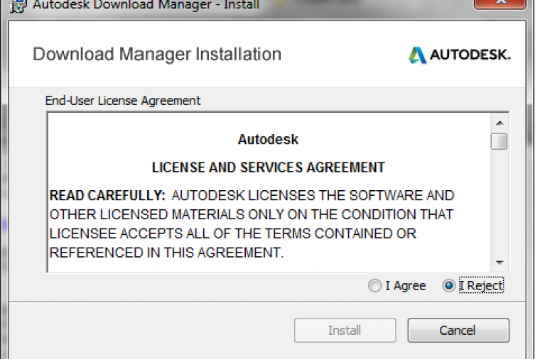
Green campuses abound thanks for student-developed award-winning green infrastructure designs. What’s the difference between AutoCAD 360 and Autodesk 360?
These and other stories are featured in this week’s CAD News & Tips for Govies is a weekly feature on Acronym that scans thousands of industry articles to present you with a regular source of CAD and GIS news, tips, events, and ideas that impact the public sector:
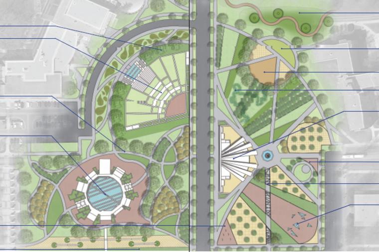
Students Transform Campus Landscapes using Green Stormwater Management Designs
Digital Design
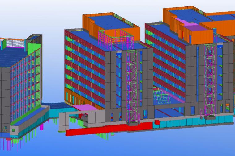
BIM standards, much like traditional CAD standards, are used when creating and sharing BIM models. Using real-life examples, this blog explains why BIM standards matter, how they impact project productivity, and what these standards looks like.
Digital Design
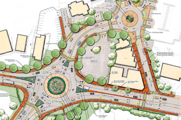
How does AutoCAD 2015 streamline cloud integration? Roundabouts or intersections – which traffic control device should you choose?
These and other stories are featured in this week’s CAD News & Tips for Govies, a weekly feature on Acronym that scans thousands of industry articles to present you with a regular source of CAD and GIS news, tips, events, and ideas that impact the public sector:
Roundabouts and Intersections: Two Traffic Control Devices, Many Options