
Digital Design
The “Internet of Things” – it’s everywhere right now!
The “Internet of Things” or IoT, for short, refers to the next evolution of the internet when everyday objects are networked to the web and each other. Smart watches, connected cars, appliances, houses, and more – very soon every physical thing will be accessible through the internet.
In government, the uses are also equally infinite - from monitoring the building energy use (currently happening over at the General Services Administration) to tracking vehicle locations and maneuvers (being explored by the DoD).

Digital Design
Last week, Autodesk chose Autodesk University 2014 to showcase new services for the building and infrastructure industries that will expand the benefits of BIM-based collaboration for Revit and InfraWorks 360 through the entire project lifecycle – from planning and design to construction and management.
Digital Design
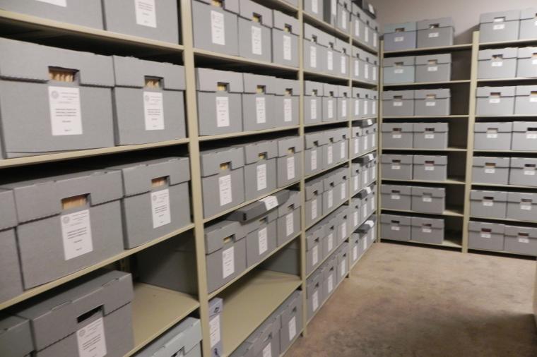
You’ve worked hard. The project is done and construction is complete. So, what happens to the project data? The drawings, the specifications, the OEM manuals, and all other associated data have to go somewhere.
They can’t just be deleted; plus, space and data storage are always at a premium. So, the trick here is to archive effectively. Make sure that the data is stored securely, using optimum space to ensure economic usage. More importantly, make sure the data is stored in a format that can be retrieved whenever necessary, at any time.
Cybersecurity, IT Perspective, Uncategorized
All too often, federal IT personnel misconstrue software as being able to make their agency compliant with various regulations. It can’t – at least not by itself.
Digital Design
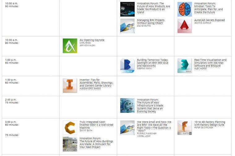
Autodesk University starts tomorrow, but if you aren't able to make it to Vegas. Don't worry, you can view a live video stream of key sessions for free.
From December 2-4, several key classes and events will be available online, in real-time, including the keynote session, forums, and closing sessions.
Digital Design
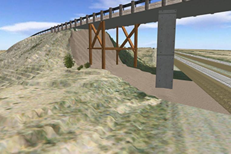
According to the McKinsey Global Institute, roads are the world’s top infrastructure segment in terms of investment. Here in the U.S. increasing traffic and an aging infrastructure is making it more important than ever to build new or rehabilitate existing transportation systems. These projects are becoming increasingly larger and complex, yet funding levels have continued to drop and traditional design methods aren’t cutting it anymore.