Do you with work with GIS data in ESRI’s MDB or GDB file formats? Autodesk has noticed that many of its government users are, which is why they want you know that AutoCAD Map 3D and Civil 3D allows you to import this data.
To connect with an ESRI personal or file geodatabase you’ll need the following:
- 32-bit AutoCAD Map 3D or Civil 3D 2012 (or newer)
- ESRI ArcEngine Runtime license
If your system is 64-bit, often the case for larger data loads, you won’t be able to bring in features from ArcGIS directly. Instead, you’ll need to set up a 32-bit virtual machine so that you can access the ArcGIS FDO Provider.
Alternatively, you can ask an ESRI user to export geodatabase data to SHP. You can then use MAPIMPORT or Data Connect to bring in the data on a 64-bit system, with our without an ESRI license.
Thanks to the team at Being Civil for the tips!
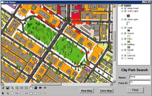
Featured image courtesy of ESRI.
Related Blog Posts


