Digital Design
In my last blog, I wrote about the apps that can be installed with Civil 3D. For this blog, I am going to discuss some of the apps from Autodesk that can be downloaded for free and installed on the iPad. Good stuff! First in the list is Infraworks. Models can be uploaded to the cloud from your pc, then, with this app on the Ipad, the models can be viewed, navigated, etc. In addition, comments can be posted regarding the model so that collaboration can be done.

Digital Design
CAD News for Govies is a weekly feature on Acronym that scans thousands of industry articles to present you with a regular source of CAD and GIS news, information and ideas that impact the public sector. Here’s the latest round-up:
Is it Possible To Design Buildings That Can Withstand 250 MPH Typhoon Winds?

Digital Design
Tablets have many benefits but they also have associated drawbacks and risks, particularly in larger utilities where crews experience harsh conditions, bright sunlight and often encounter connectivity issues. The small form factor and the high risk of damage are also key issues. In these instances, pen and paper often remain the primary way of marking up design drawings and record plans.
But with the intersection of the 32nd square of the chess board with Moore’s law, we can begin to imagine an new solution.

Digital Design
With nearly 4 million miles of roadways, over 600,000 bridges and multiple transit systems stretched across our nation, infrastructure modernization is a complicated and challenging task. It plays an important role in economic stimulation and has become one of the key areas of emphasis for many citizens and city stakeholder communities.

Digital Design
CAD News for Govies is a weekly feature on Acronym that scans thousands of industry articles to present you with a regular source of CAD and GIS news, information and ideas that impact the public sector. Here’s the latest round-up:
Webinar Series: A Multi-Faceted View of Infrastructure Project Success
CAD General, Utilities
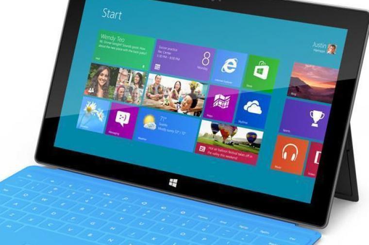
Apple created the consumer tablet industry with its revolutionary iPad and then dominated the market with the brilliant introduction of its AppStore and the integration of iTunes.
Google responded with the open source Android operating system and has gradually gained market share. Without an effective alternative from Microsoft, the iPad and Android based tablets gradually gained momentum in the commercial market despite the security and integration problems they created for IT staff.