Free White Paper: How DOTs are using Swept Path Analysis to Improve Safety & Speed Design
Developed with the needs of transportation designers and engineers in mind, Autodesk Vehicle Tracking (AVT) is a relatively new addition to Autodesk’ portfolio of infrastructure solutions, but it’s getting a lot of attention.
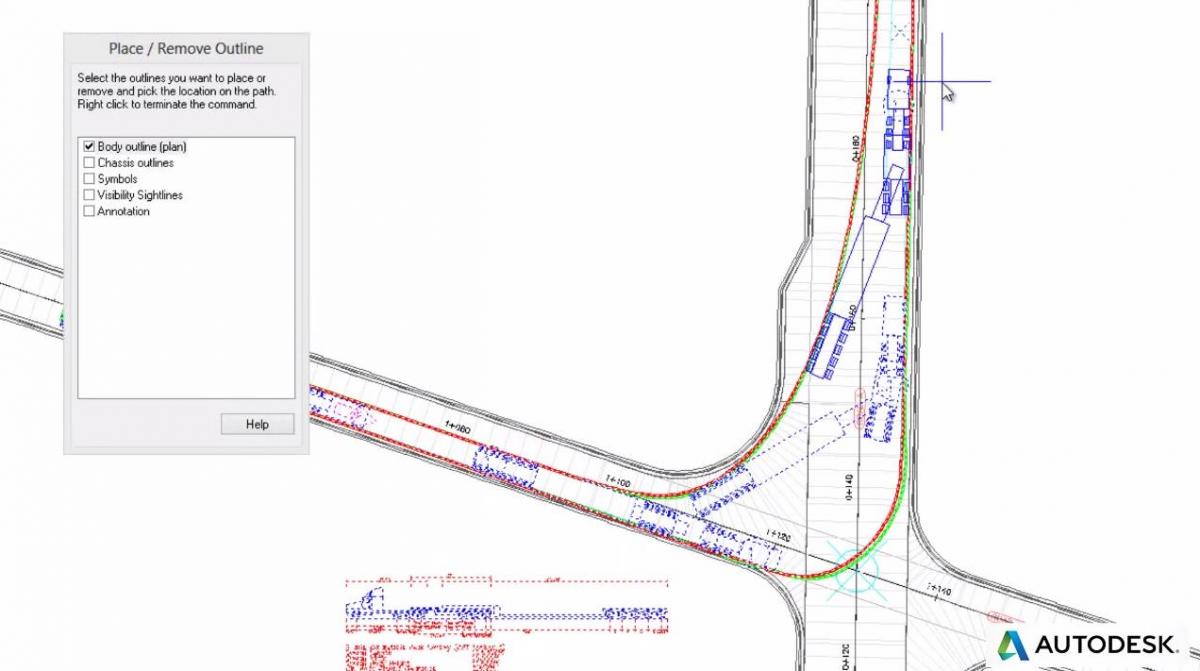
That’s because AVT simplifies and automates previously complex drafting scenarios and allows designers and planners at government agencies to quickly validate designs for roundabouts, intersections, parking, airport access, and more. As the name suggests, AVT also provides the capability to evaluate vehicle movements on transportation or site design projects to help determine safe turning widths and ideal places for traffic signals, medians and other design features.
By taking into account a multitude of different scenarios e.g. size and type of vehicle, speed travelled, visibility factors and much more, AVT makes it easier for municipal planners and engineers to:
- Use swept path analysis to evaluate design performance
- Quickly layout and optimize valuable parking space allotments
- Leverage powerful roundabout design and layout tools
AVT is offered as a convenient add-on to AutoCAD® and Bentley MicroStation, but also integrates with other AutoCAD-based products including AutoCAD® Civil 3D®, AutoCAD® Map 3D, AutoCAD® Architecture, AutoCAD® Plant 3D, and AutoCAD® Utility Design.
We’re pleased to offer a new white paper that explores the many benefits that Autodesk Vehicle Tracking software can deliver, along with examples of how transportation agencies are reaping the benefits.
Download your free copy here.
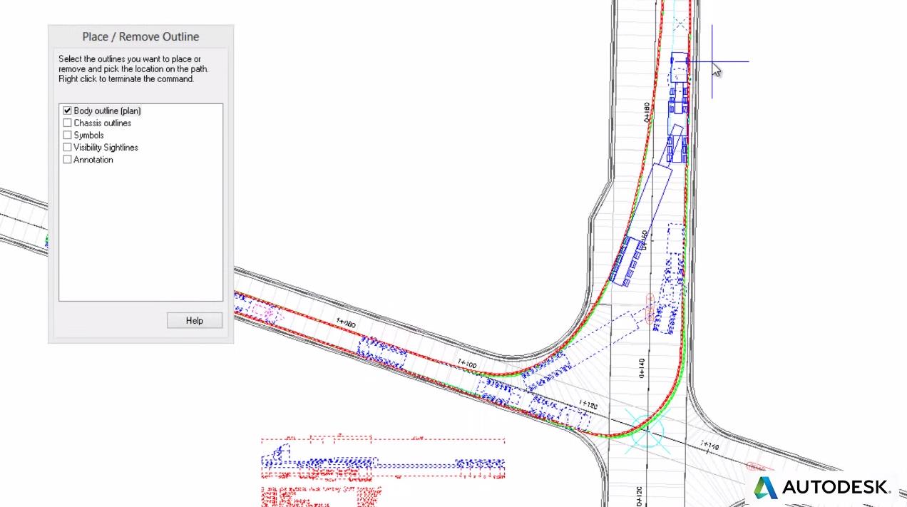
Image courtesy of Autodesk.
Related Blog Posts


