CAD News for Govies is a weekly feature on Acronym that scans thousands of industry articles to present you with a regular source of CAD and GIS news, information and ideas that impact the public sector.
Here’s the latest round-up:
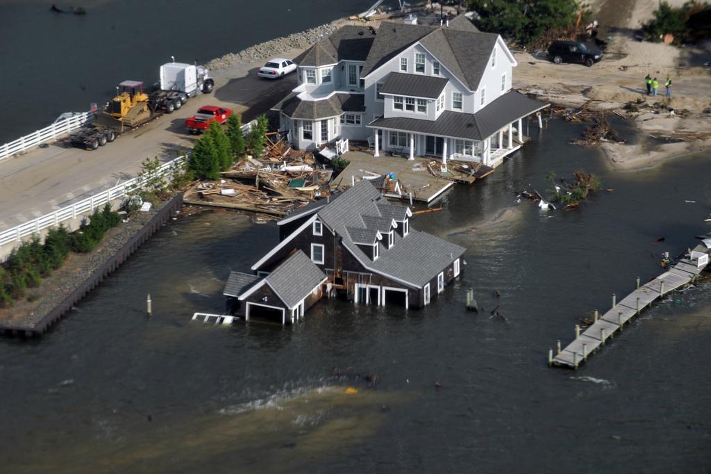
Crisis Cleanup Mapping Tool Coordinates Rebuilding Efforts
New Jersey first responders were put through their paces last summer and none more so than Aaron Titus, disaster coordinator with Mormon Helping Hands who oversaw the dispatch of hundreds of volunteers to remove damaged trees. The scale of the coordination spurred him on to create Crisis Cleanup, a free open source mapping tool/ that allows disaster relief organizations with clean-up efforts. Today the system is used by members of volunteer disaster relief organizations to enter information about residents in need of help – including their location and type of incident – then it generates icons on a dynamic map. Responders can view the data and claim the work order without overlap and duplication of effort. Read more at Government Technology.
Not Just for Magazines: 4 Reasons Why Software Subscriptions Rule
Software subscription, also known as maintenance or service contracts, typically provides additional services on top of your basic software license for a fee. So why pay extra for this service? Well, according to Line, Shape, Space (a new blog from Autodesk targeting the small business sector), when you add up the benefits of subscription, you not only get what you pay for, but sometimes more, including automatic upgrades, technical support, access to additional programs, and more. Read more.
How to Handle Point Clouds in AutoCAD 2014
Thinking of moving to AutoCAD Design Suite 2014? The latest version of the software was released by Autodesk in March and includes Autodesk Recap workflow with the Reality Capture Project/Reality Capture Scan (RCP/RCS) engine, which has the ability to process massive data sets for large project management and visualization. Check out our latest blog in which we explain how to make changes to the workflow using third party software from software developer – kubit USA. The blog also features a quick video which explains how point cloud data management has improved.
Why GIS is a Great Tool to Help Fight Dangerous Wildfires
Predicting where a wildfire is going to start isn’t easy, but the GIS can play a role in helping residents, firefighters, emergency response workers, and others understand the situation on the ground. GIS excels at predicting the characteristics of a wildfire thanks to its ability to analyze multiple layers of data such as housing, vegetation and weather. All of which play a critical role in wildfire planning and prevention. Read more at GISCafe about how a major online mapping system was created to show the extent of burning in Colorado and how GIS experts can play a major role before and during these emergencies.
Related Blog Posts


